


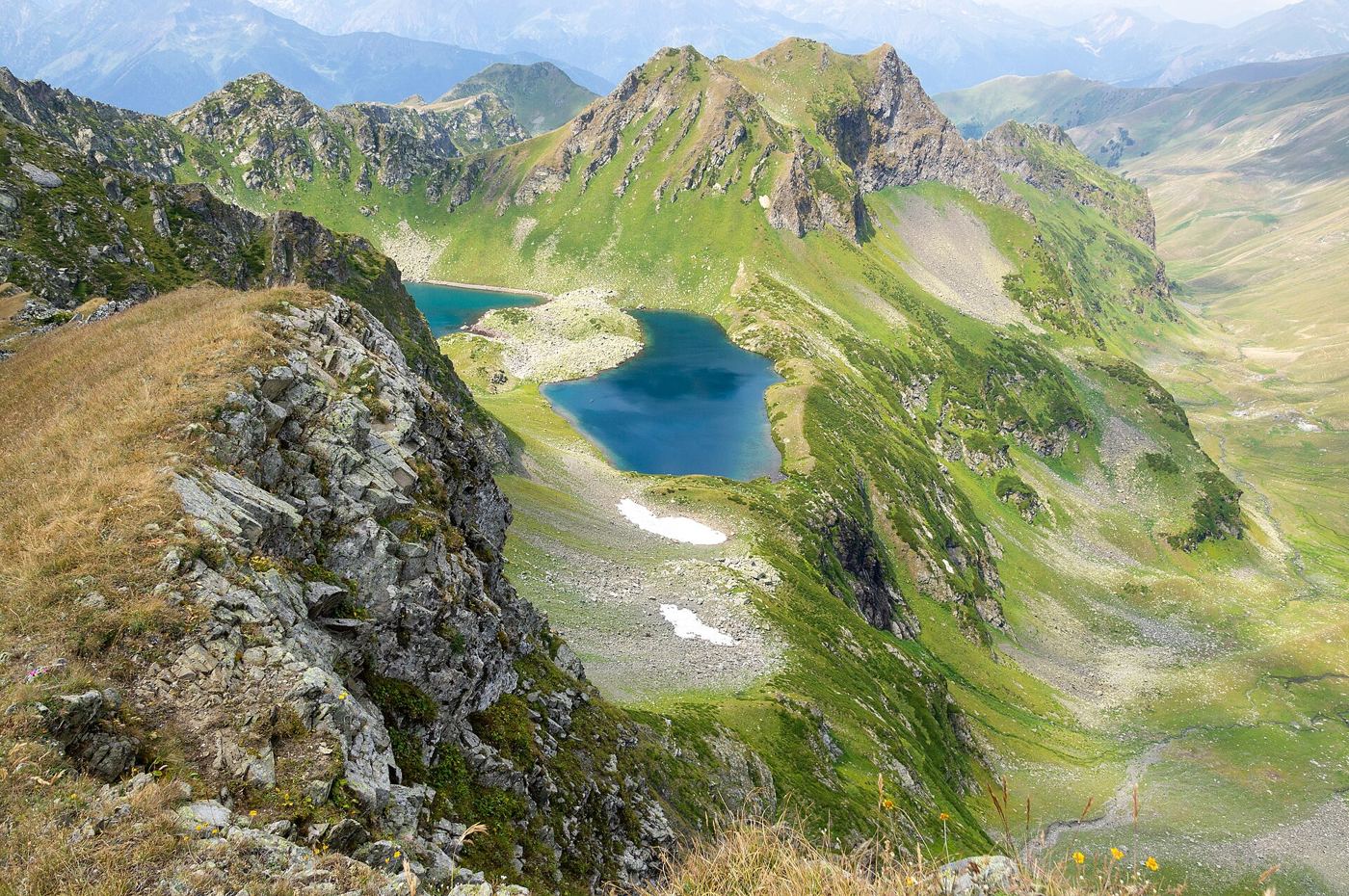
High in mountain valleys around the world, melting glaciers are leaving behind lakes held back only by loose walls of rock and ice debris. These glacier lakes can grow quietly for years, fed by meltwater each summer, until a landslide, avalanche or the collapse of the natural dam releases a sudden flood down the valley below. Scientists and engineers are now mapping these lakes systematically with satellite images, drone surveys and water level sensors, ranking them by size, dam condition and the homes, roads and power stations in the potential flood path. The work matters because communities downstream often have little warning when an outburst occurs, and the volume of water involved can transform a small mountain stream into a destructive torrent within minutes. Improved maps allow local authorities to install early warning sirens, plan evacuation routes and, in the highest risk cases, carefully lower a lake’s level through controlled drainage channels built by specialist teams. International teams now compare the same valleys annually, so trends are harder to miss or dispute.
What the Evidence Shows
Monitoring has improved dramatically in the past decade. Satellites revisit the same valleys every few days, so a lake expanding faster than expected is spotted quickly, while ground sensors can detect sudden level drops that may signal a breach and trigger automated alerts to villages below. Researchers stress that not every glacier lake is dangerous: many are stable, distant from settlements and valuable for water storage and tourism. The priority is distinguishing those from the minority with unstable dams above populated valleys. Climate change complicates the picture, because warmer summers add meltwater while also thawing the frozen ground that helps hold natural dams together. Engineering responses must therefore be reviewed regularly rather than treated as permanent fixes. Teams working in the Himalayas, the Andes and the Alps are increasingly sharing methods and data, recognising that the physics of these lakes is the same everywhere, even if the communities and terrain around them differ greatly. Reporting and analysis from sources such as Nature track the same developments, and specialists following the growing glacier lake say the direction is now consistent across independent lines of evidence.
The Wider Context
The wider context is a research landscape in which replication and open data now decide reputations. Findings connected to the growing glacier lake are being checked by independent groups with shared datasets, and the teams involved publish their methods in full so rivals can test every step. That discipline is slower than a headline cycle, but it is why results in this area increasingly survive first contact with scrutiny.
What Happens Next
What happens next in the story of the growing glacier lake will be decided by follow-up work already under way: larger samples, longer observation and instruments that have not yet come online. The researchers involved are unusually united on one point, that the current results justify the next investment of time and money. Readers will not have to wait long for the first tests of that claim. You can follow related developments in our coverage of science.
None of this will be settled by a single announcement, study or product launch. The pattern to watch is accumulation: independent confirmations, honest reporting of failures and steady improvement in the underlying numbers. Readers who follow those signals, rather than the loudest claim of the week, will understand this subject better than most of the commentary surrounding it suggests is possible.
